
 MENU
MENU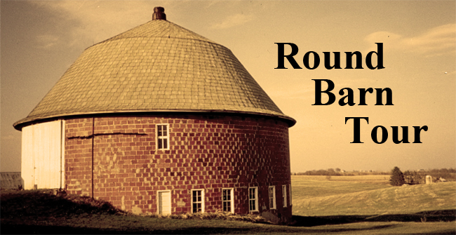
photo credit: Elmer Mithum
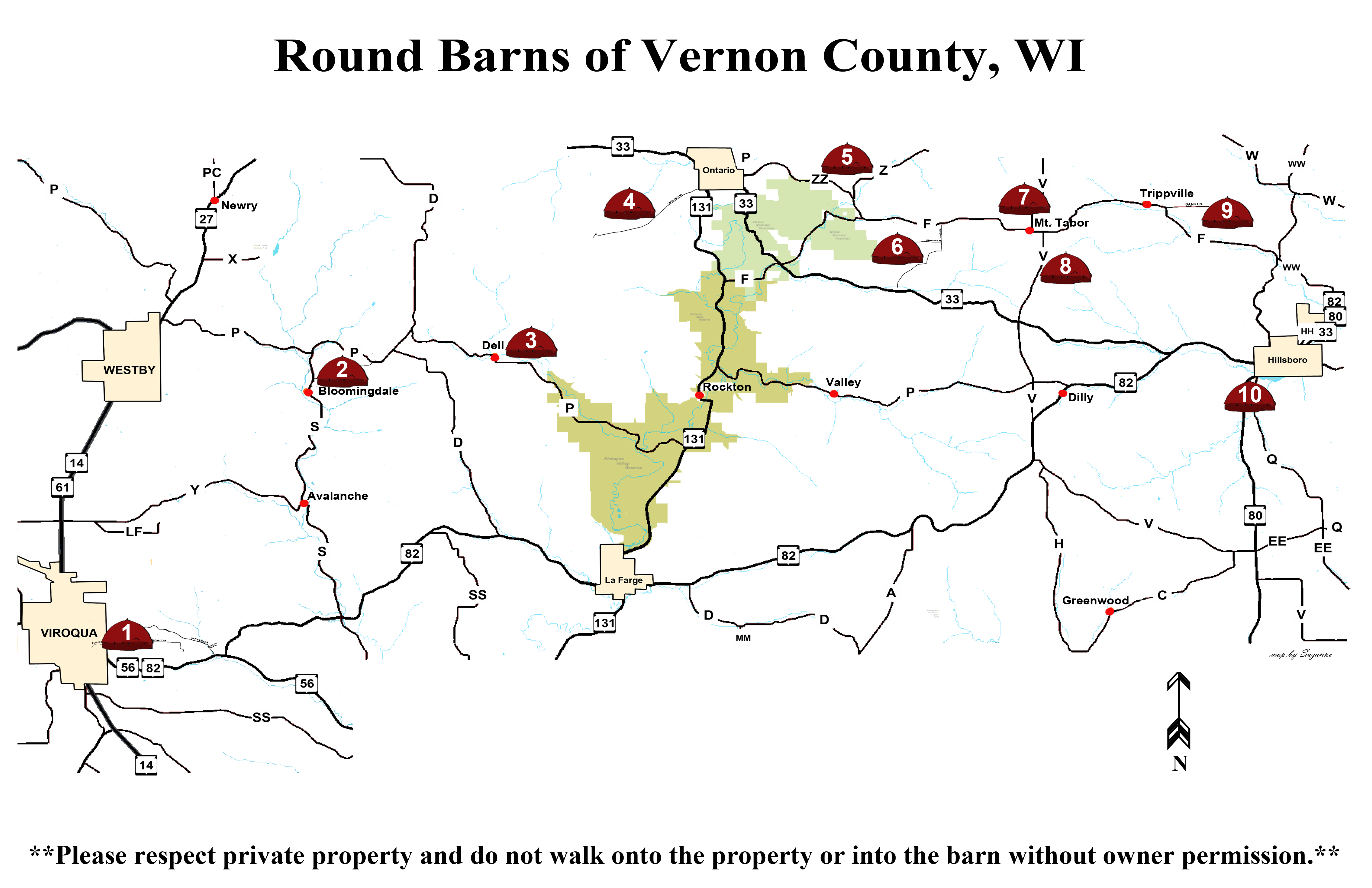
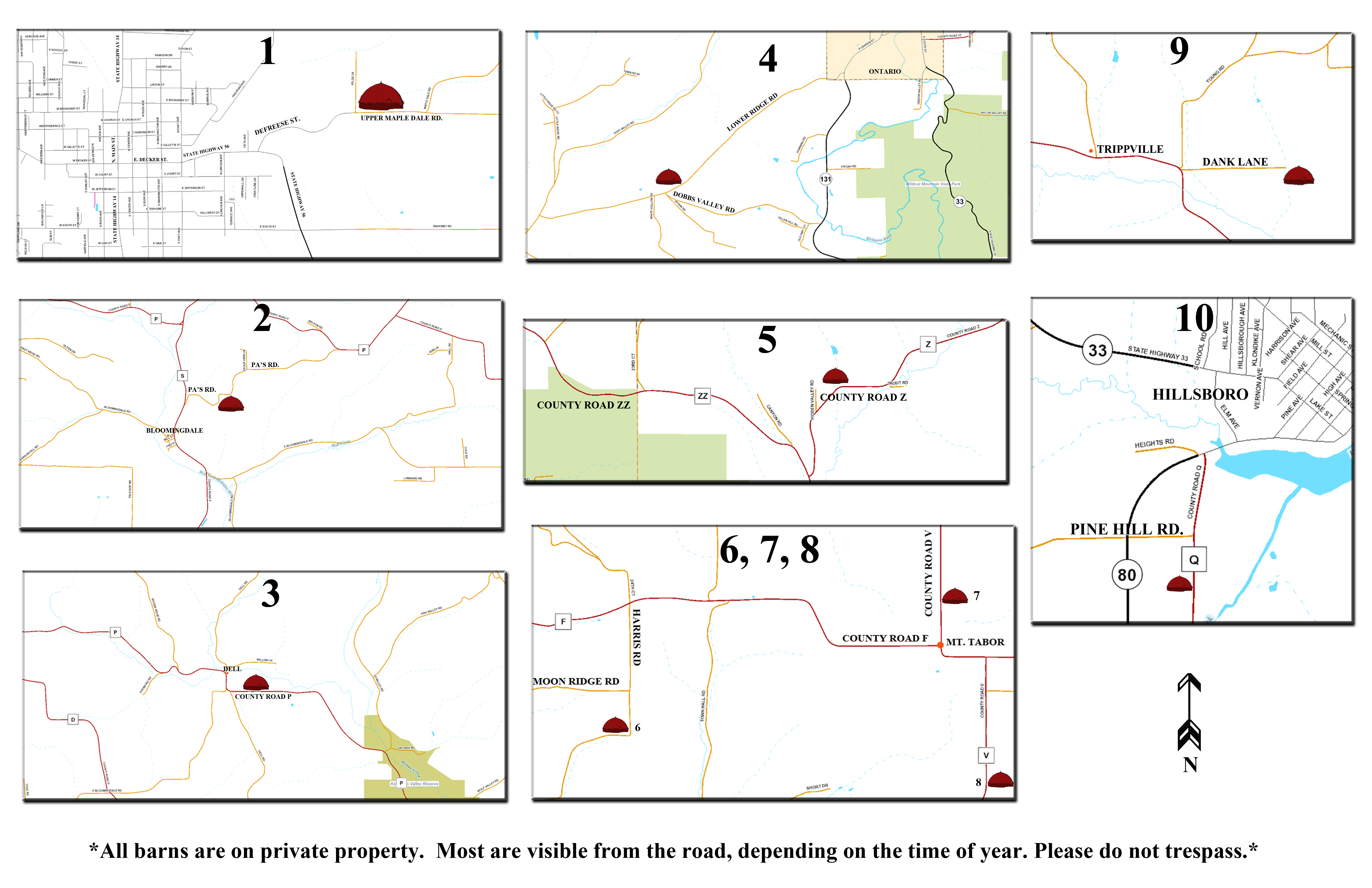
There is no set order for viewing the barns. Vernon County is very wide stretching from the Mississippi River on the west to Hillsboro on the far east. The round barns are mostly located in the eastern part of the county between Viroqua and Hillsboro. We have a map covering the whole area of the tour and smaller, more detailed maps of each barn location.
Please be aware:
*All barns are on private property. Most are visible from the road, depending on the time of year.
**Respect private property and do not walk onto the property or into the barn without owner permission.

Information and maps for individual barns*
- 1. Viroqua –Hwy.56 east to Defreese St./Upper Maple Dale Rd.
North side of the road.
- 2. Bloomingdale –Cty.S to Pa’s Rd. South side of road.
- 3. Dell – Cty.P just east of Dell. North side of the road.
- 4. Ontario (west) –Hwy.131 to Lower Ridge Rd.
or cut across on Dobbs Valley Rd. to Lower Ridge Rd. North side of Lower Ridge Rd.
- 6. Mt. Tabor (west) – From the north: Cty.F to Harris Rd. From the south: Hwy.33 to Harris Rd. West side of the road.
- 7. Mt. Tabor (north) – From Cty.F north on Cty. V. East side of the road.
- 8. Mt. Tabor (south) – From Cty.F south on Cty. V. East side of the road.
- 9. Trippville – Cty.F to Dank Rd. At the end of Dank Rd.
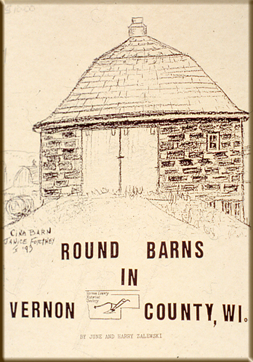
*Information on individual barns is from the revised Round Barns of Vernon County, Wisconsin; A Circle Tour
by Gail Curry Fish, Wava G. Haney, and June Zalewski Pedretti, 2004.